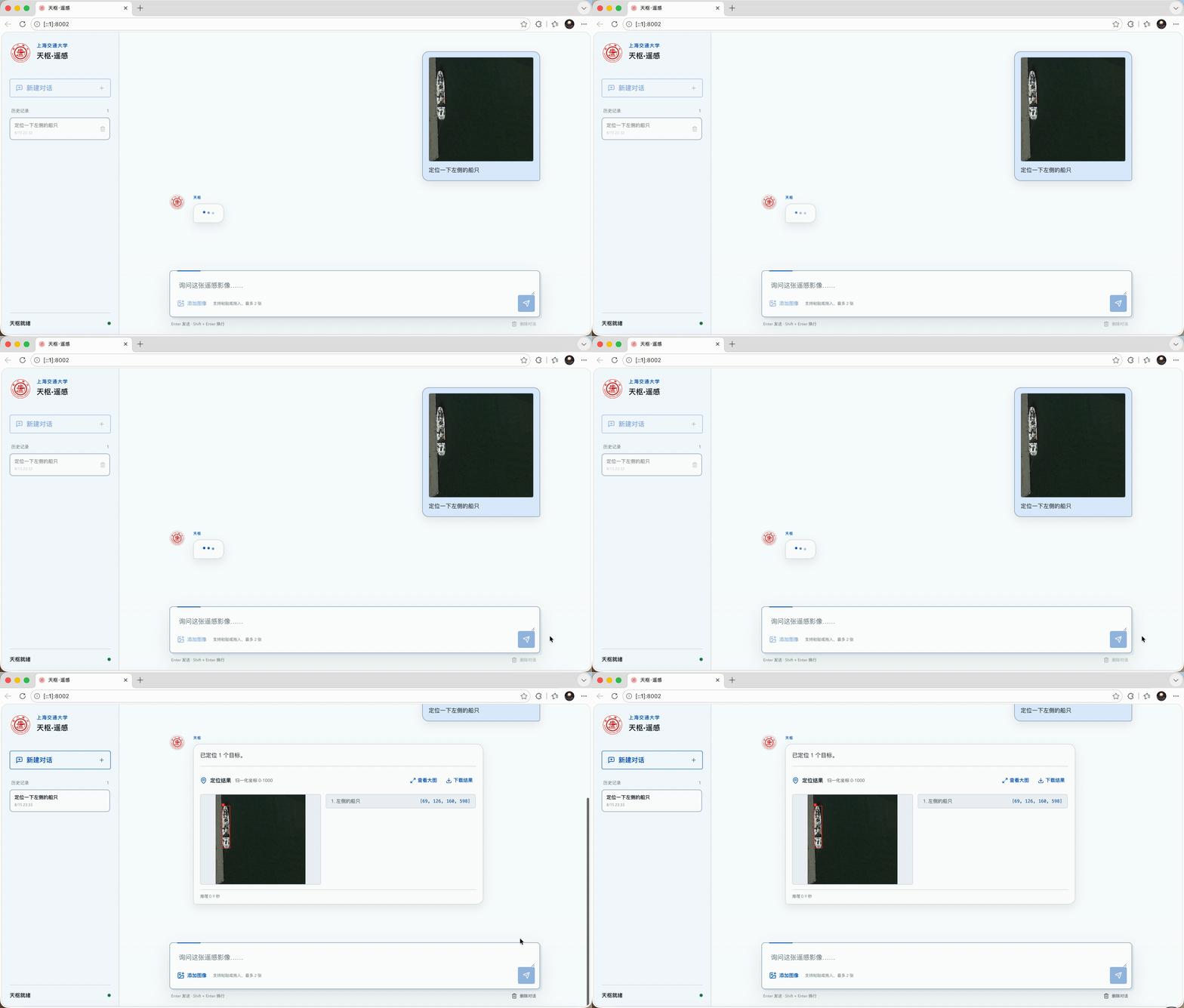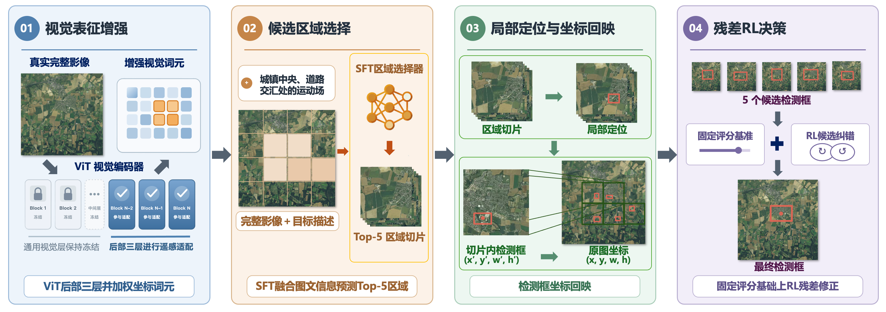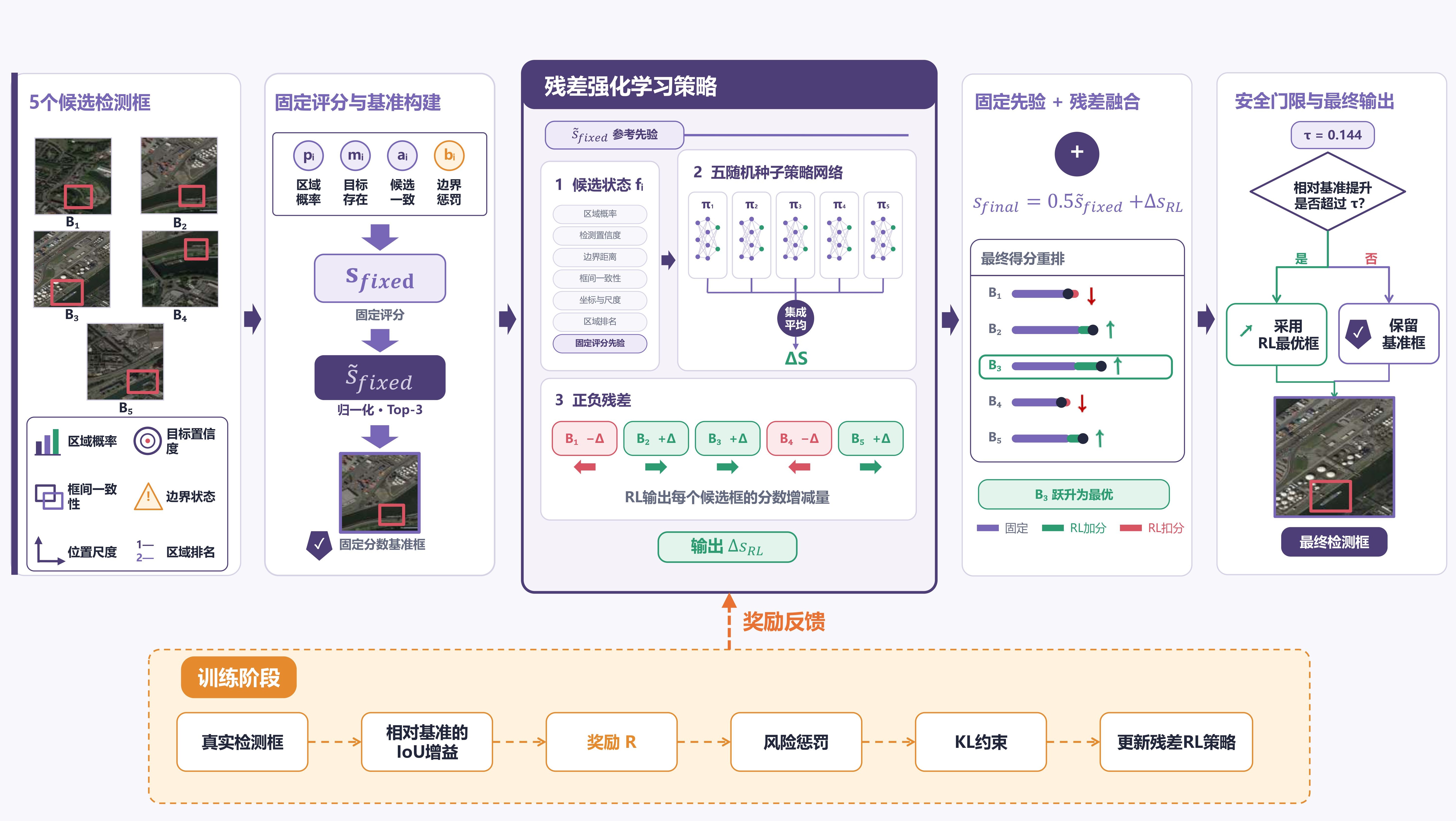

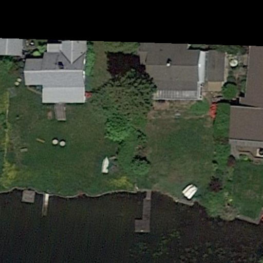
“Locate the upper green boat in the central-right area; water is above it, a moving boat is to its left, and other green boats are below it.”
TerraScope · 天枢遥感
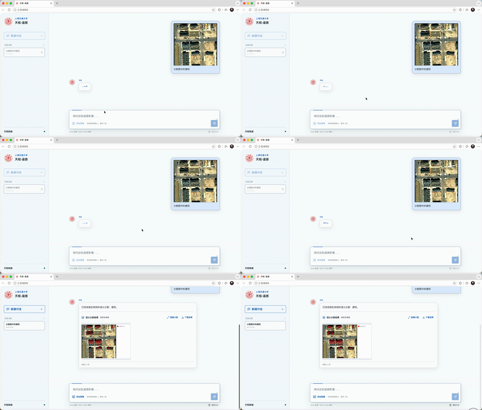
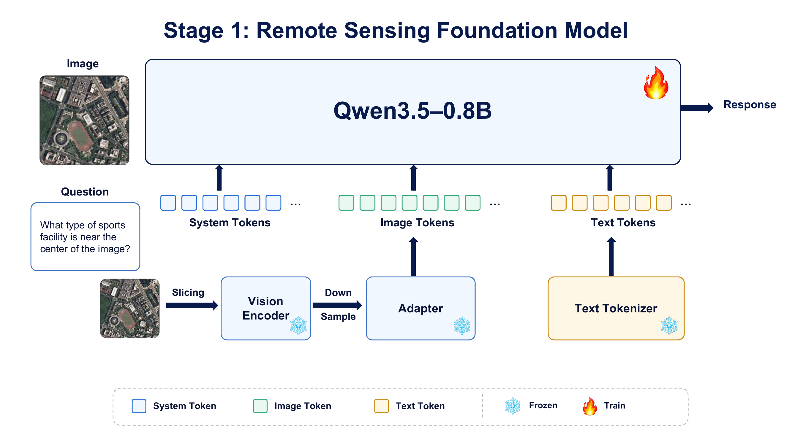
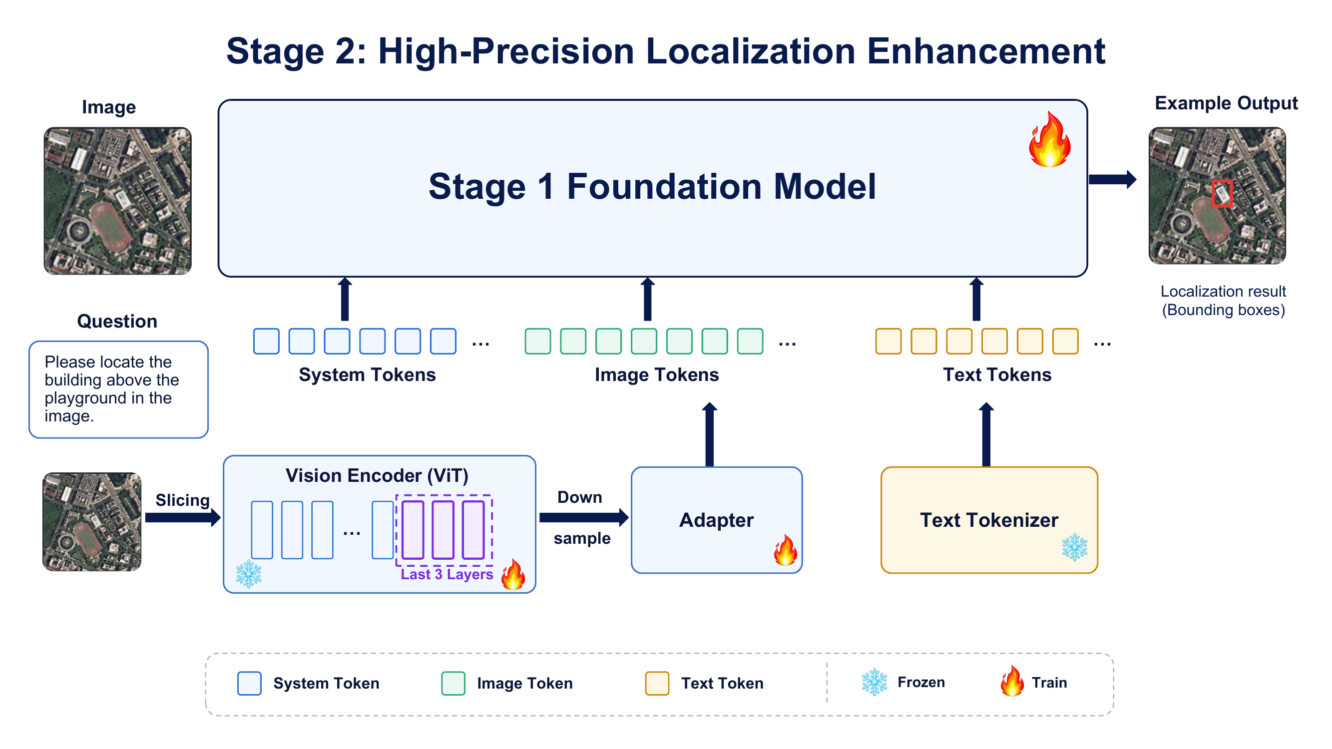
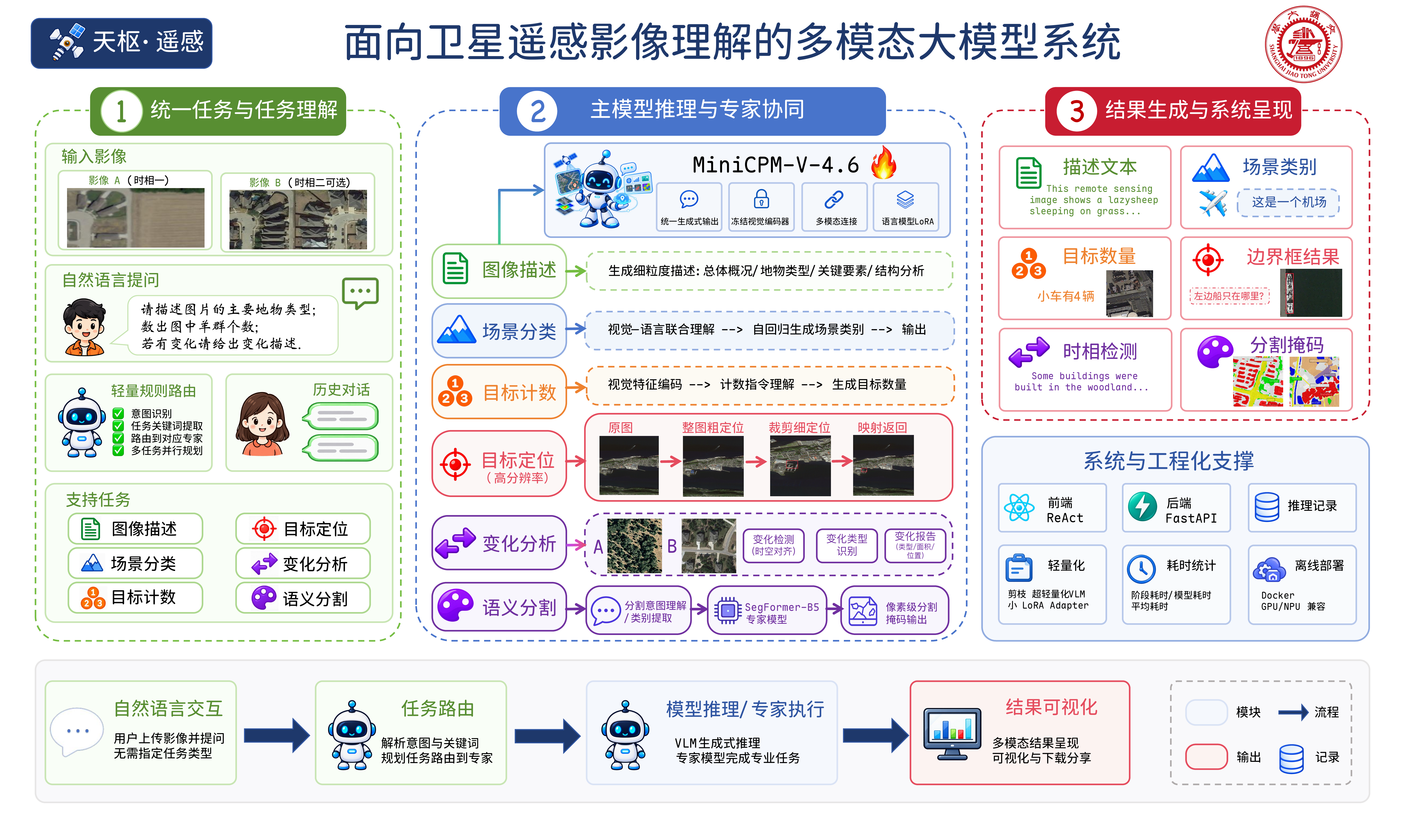
TerraScope 是一套面向端侧部署的多模态遥感影像解译系统。系统以基于 MiniCPM-V 4.6 适配的 1.3B 视觉语言模型为核心,并发布合并后的 BF16 权重。面对单幅影像或双时相影像,用户无需添加任务前缀或结构化指令,即可完成场景识别、图像描述、视觉问答、目标计数、视觉定位与变化理解。对于像素级密集预测,系统集成了适配 LoveDA 七类地物的 SegFormer-B5 专家模型。轻量级路由层依据自然语言请求选择合适的模型,并通过统一的 Web 与 API 接口返回结果。整套系统可在离线、资源受限的环境中运行。
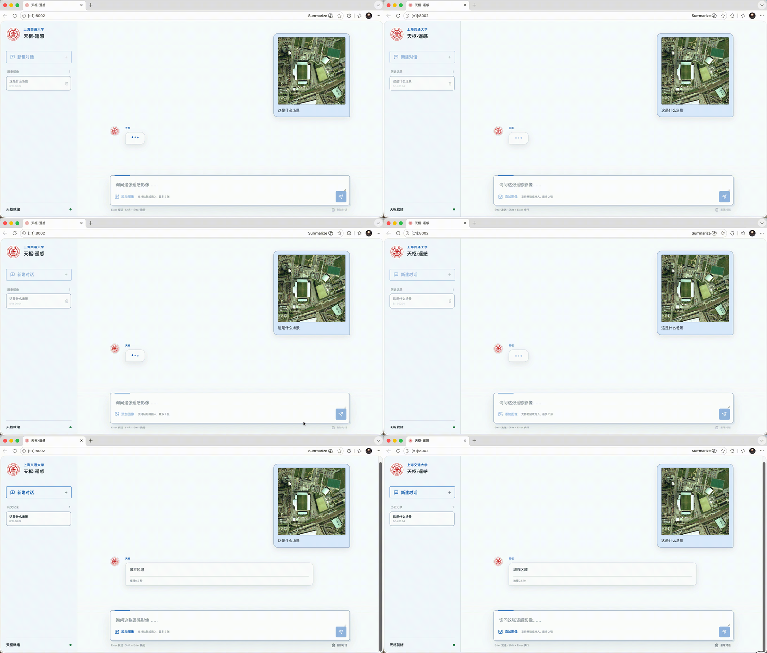
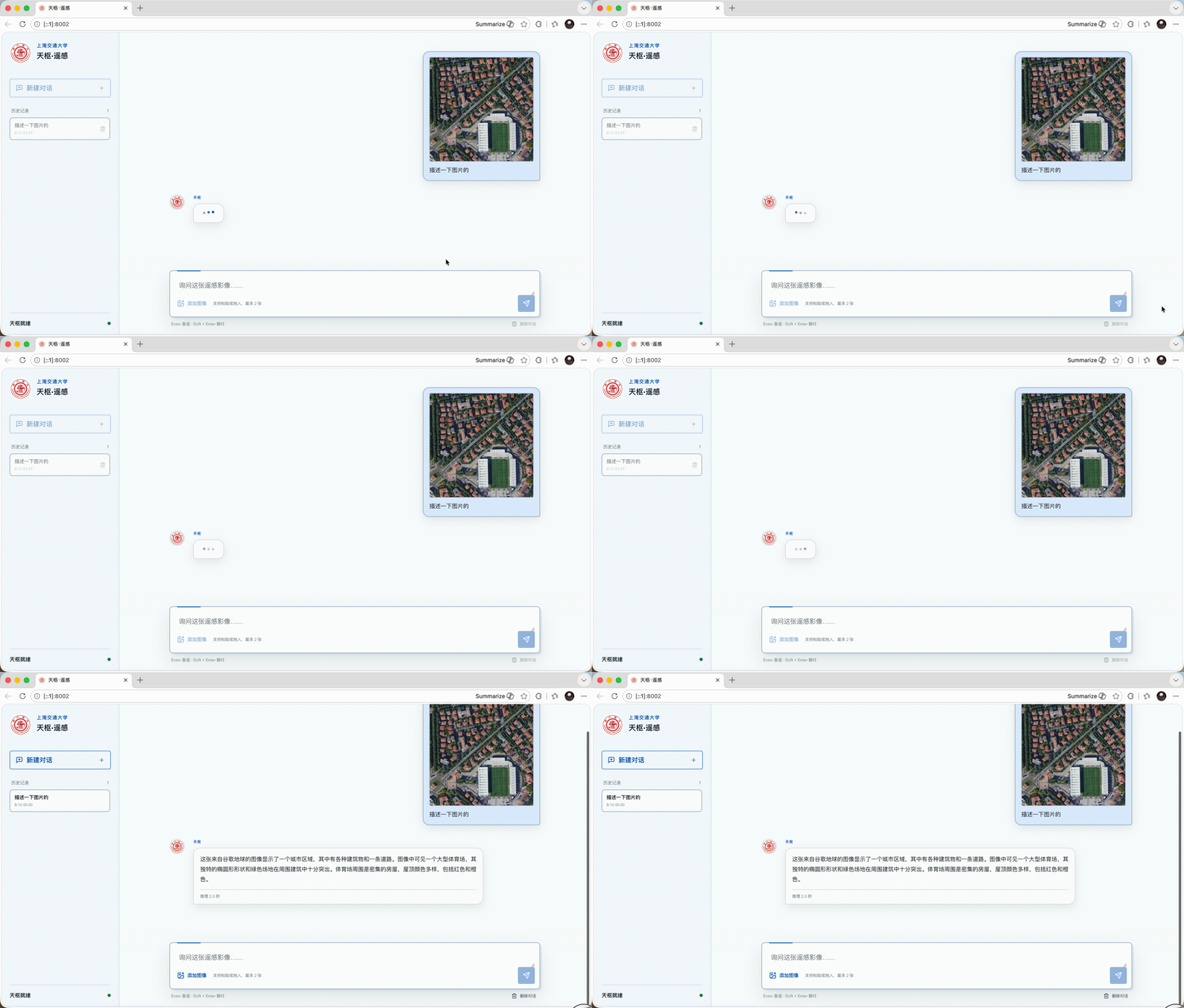
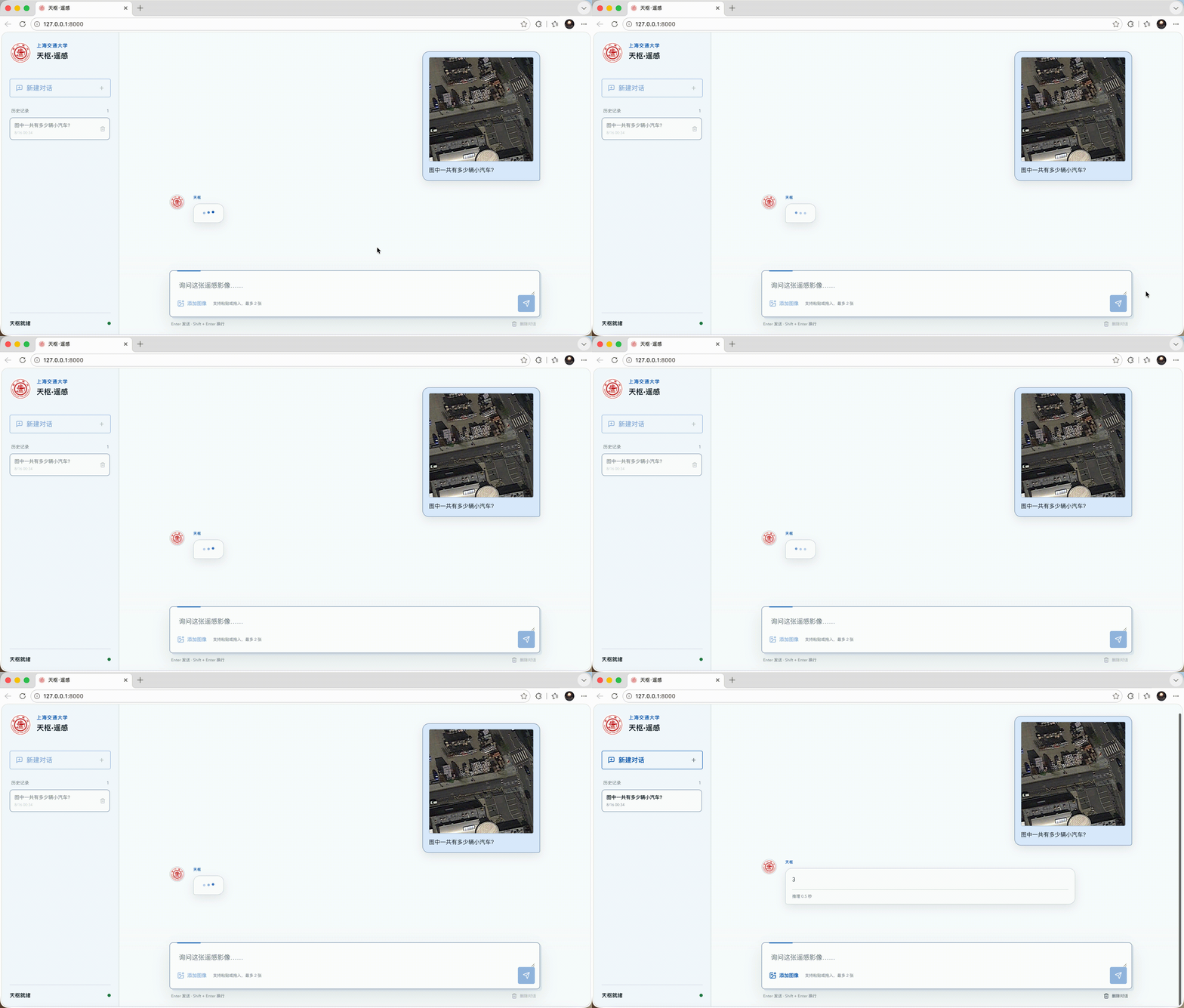
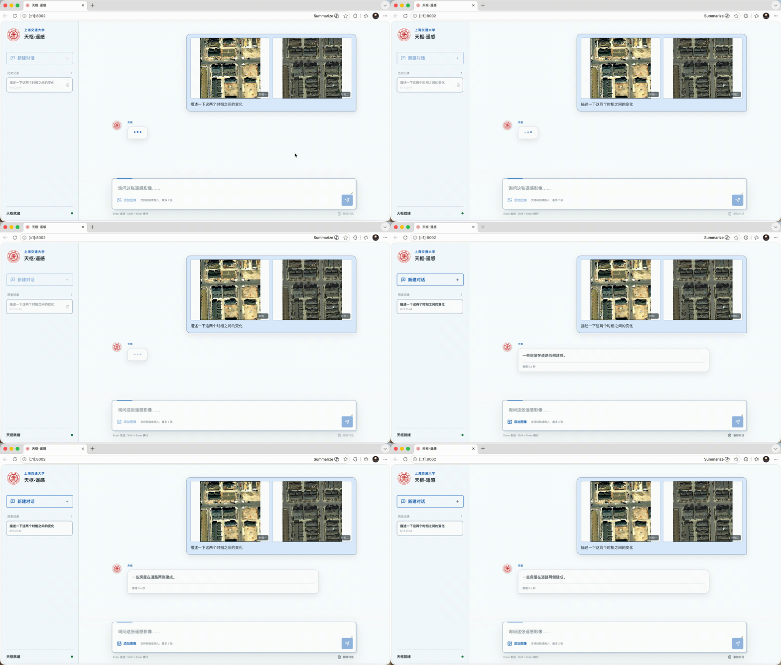
以下样例选自公开评测集。定位样例对比模型预测框与参考框,其余样例展示模型生成结果。
“Locate the upper green boat in the central-right area; water is above it, a moving boat is to its left, and other green boats are below it.”
“Locate the ship docked on the grassy shore near the center of the image.”
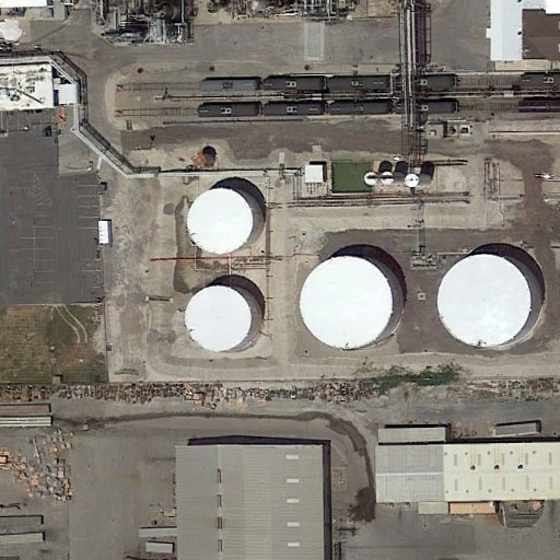
“How many large storage tanks are visible in the image?”
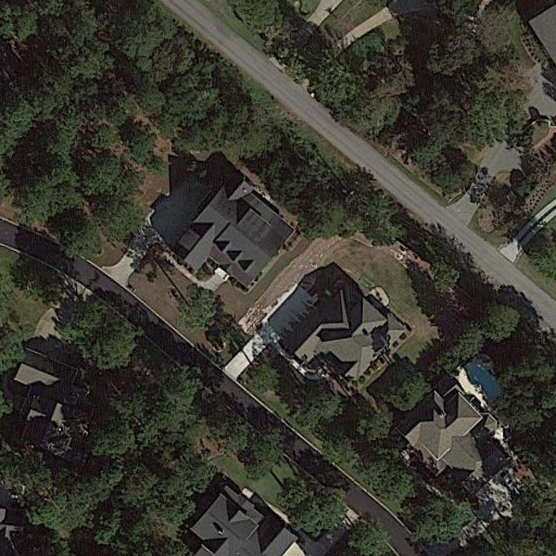
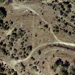
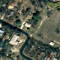
The image shows a high-resolution view of a residential area with houses surrounded by dense vegetation. A small swimming pool is located in the bottom-right of the image.
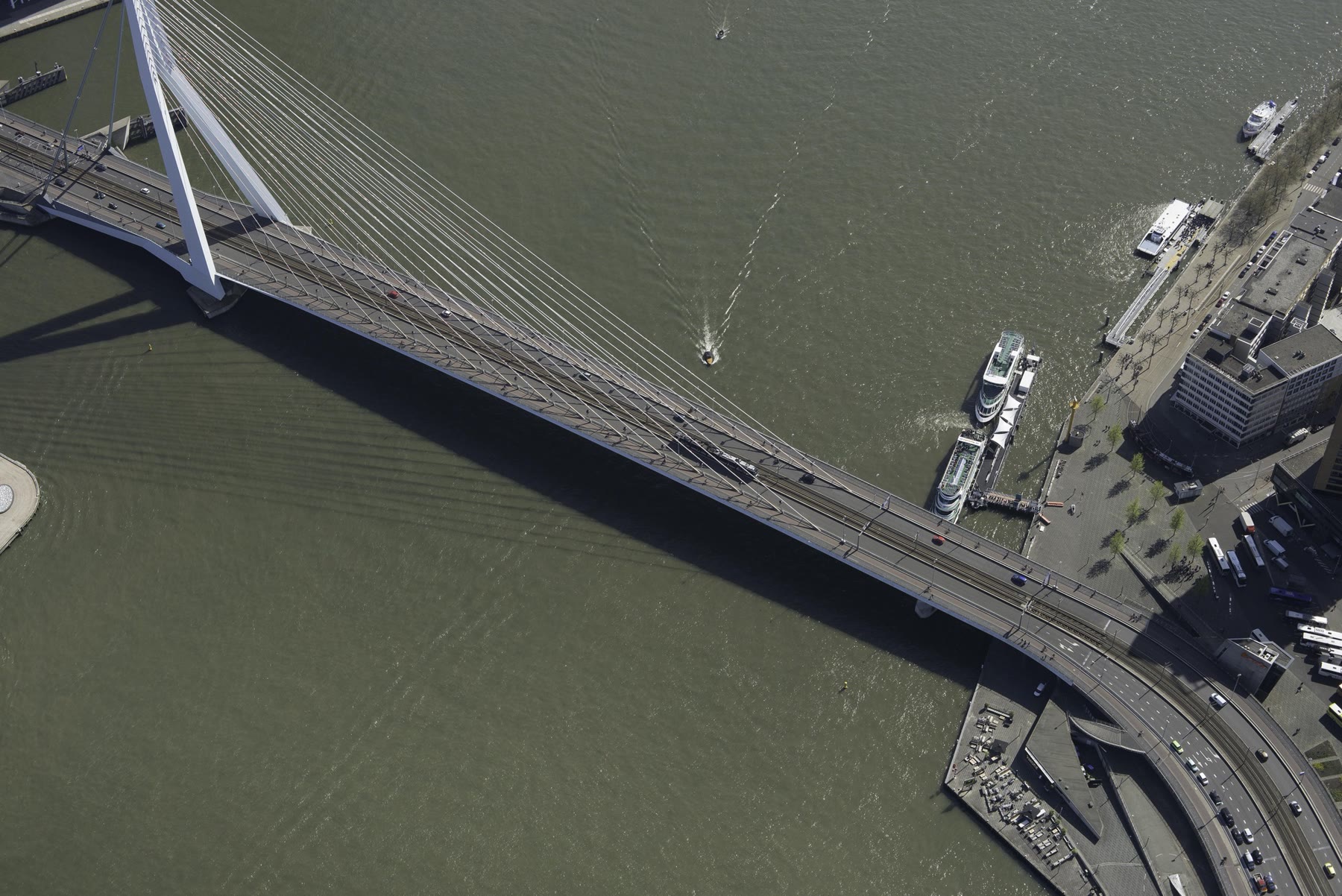
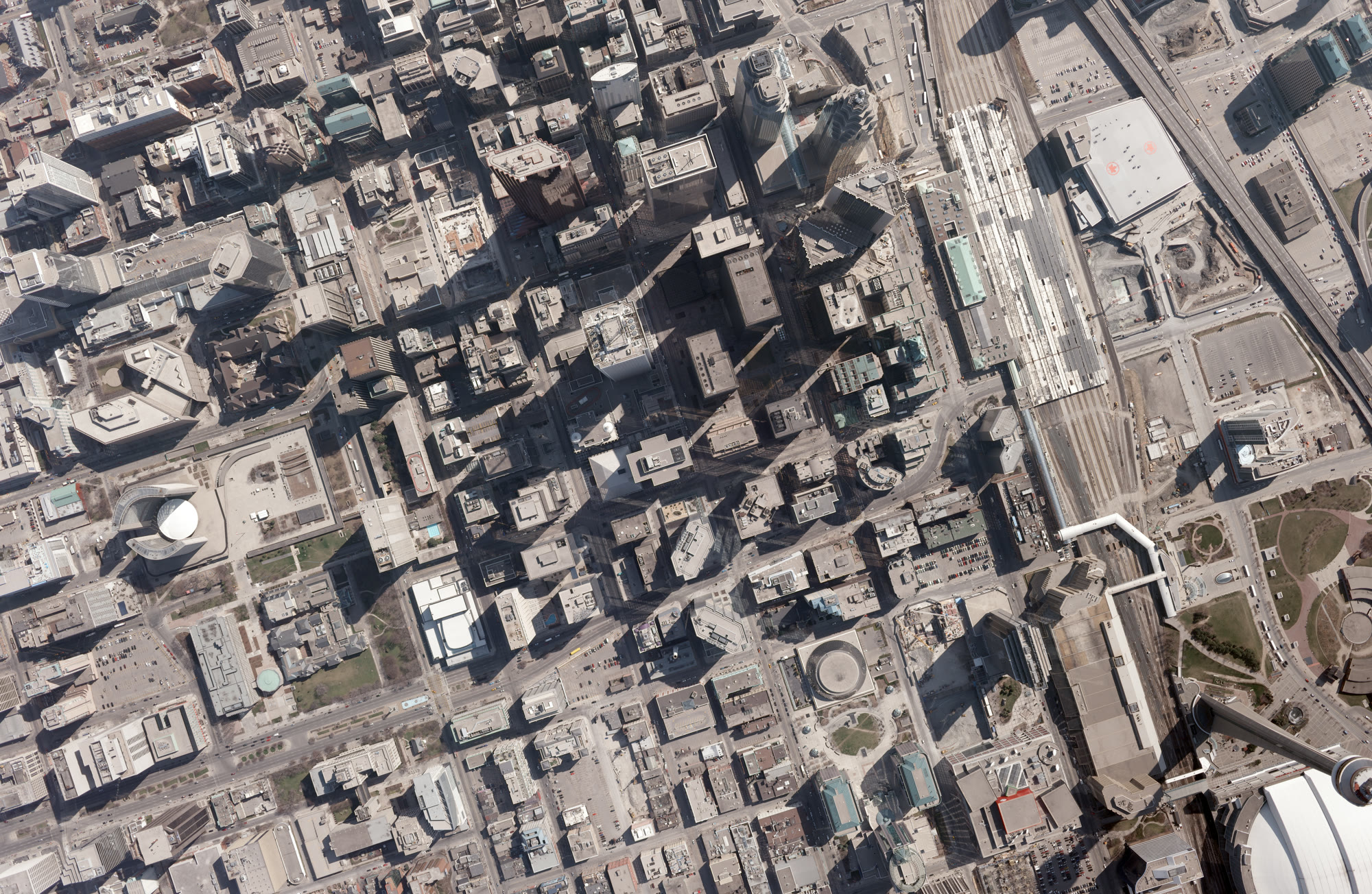
Where is the high sightseeing tower in the picture?
B · bottom-right
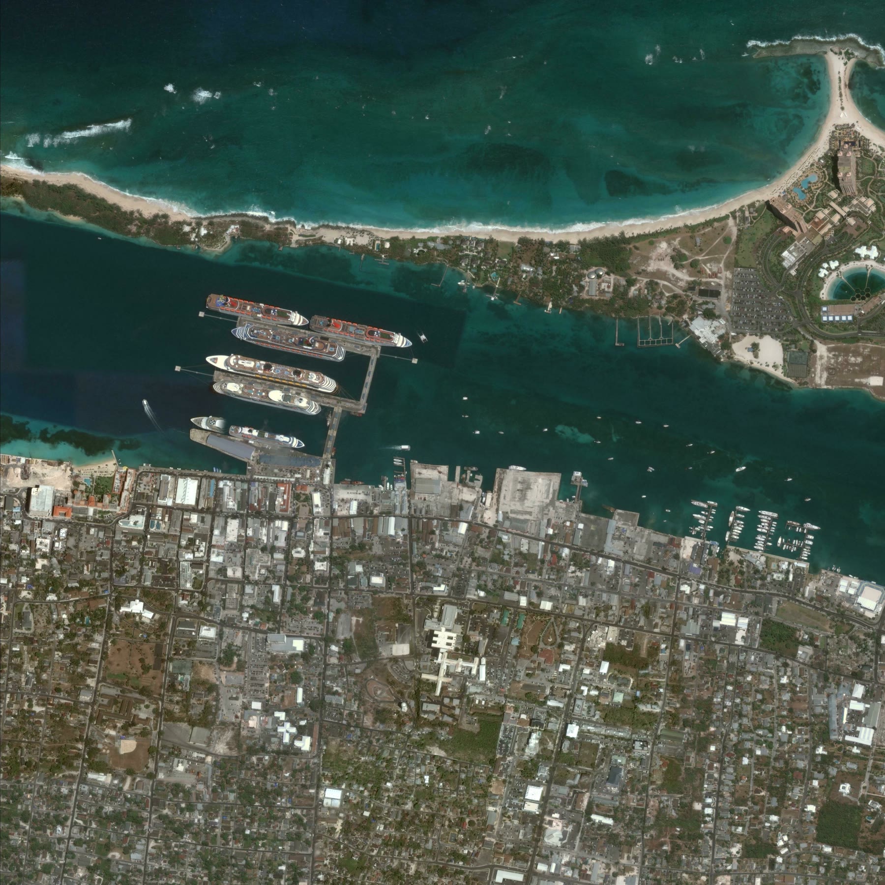
What is the best route from the large cruise terminal at the center top to the circular hotel complex at the top right?
A. Move along the top edge to the right, then slightly downward.


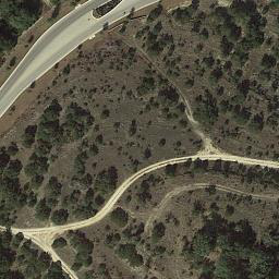
A road appears in the desert.


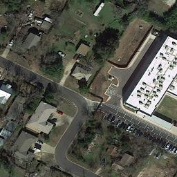
A large building is built on the right side of the scene.
基于 MiniCPM-V 4.6 适配的遥感影像理解模型,提供合并后的 BF16 权重。
ModelScope面向 LoveDA 适配的 SegFormer-B5 模型,支持七类城乡地表覆盖分割。
ModelScope@software{terrascope2026,
title = {TerraScope: An Edge-Deployable Multimodal System for
Remote-Sensing Image Understanding},
author = {Wu, Hengtao and Cui, Xuanrui and Wu, Ningkai and
Li, Yanchen and Li, Hao and Zhang, Yujia and Ma, Haonan and
Yan, Yufei and Jiang, Yuting and Liu, Wenxuan and Wei, Feiming and
Zhang, Tao and Ma, Jin},
year = {2026},
url = {https://github.com/EternalWavee/challenge-cup-2026}
}
访问上海交通大学云盘时,请输入以下提取码。
sjtu